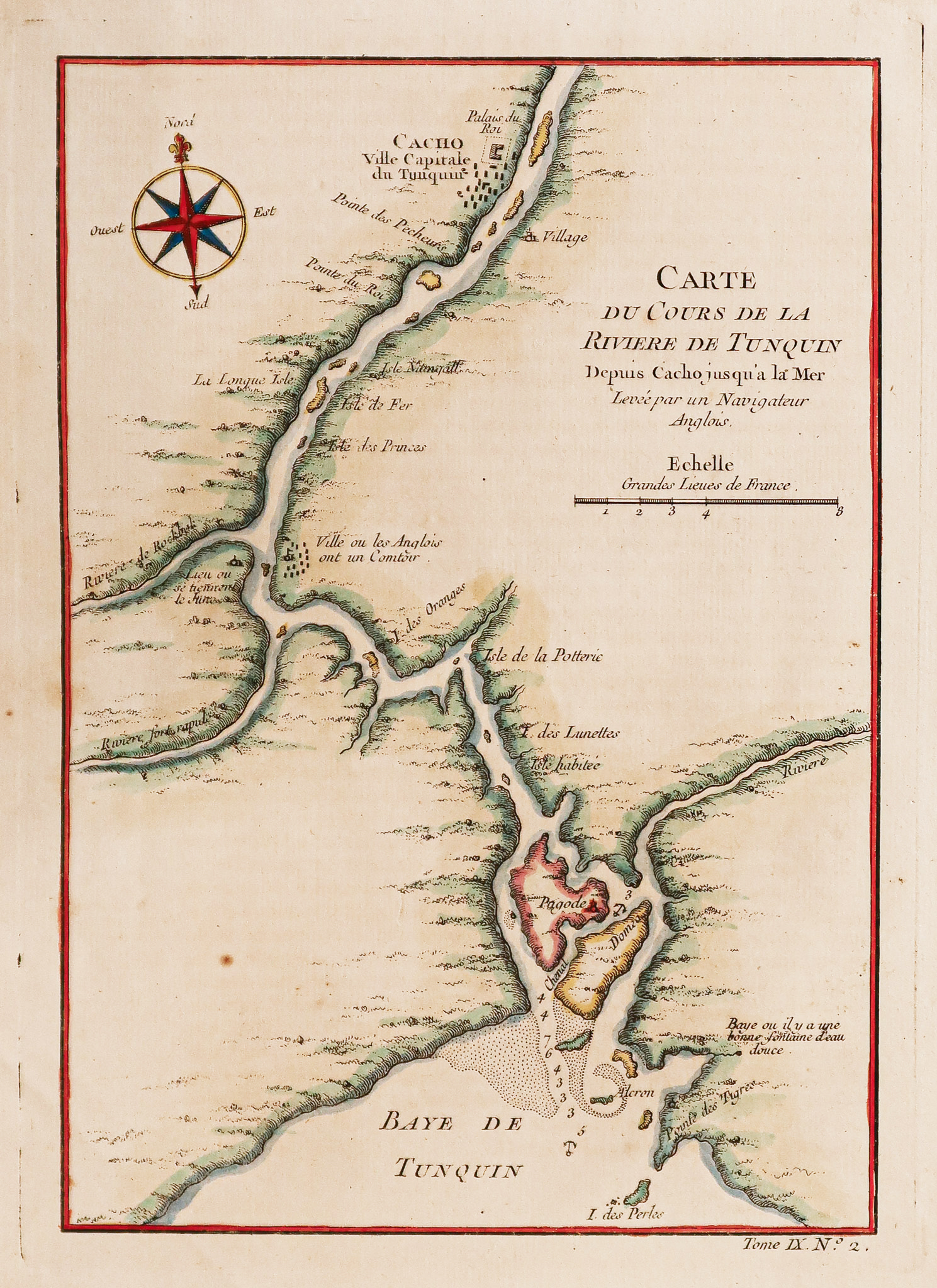
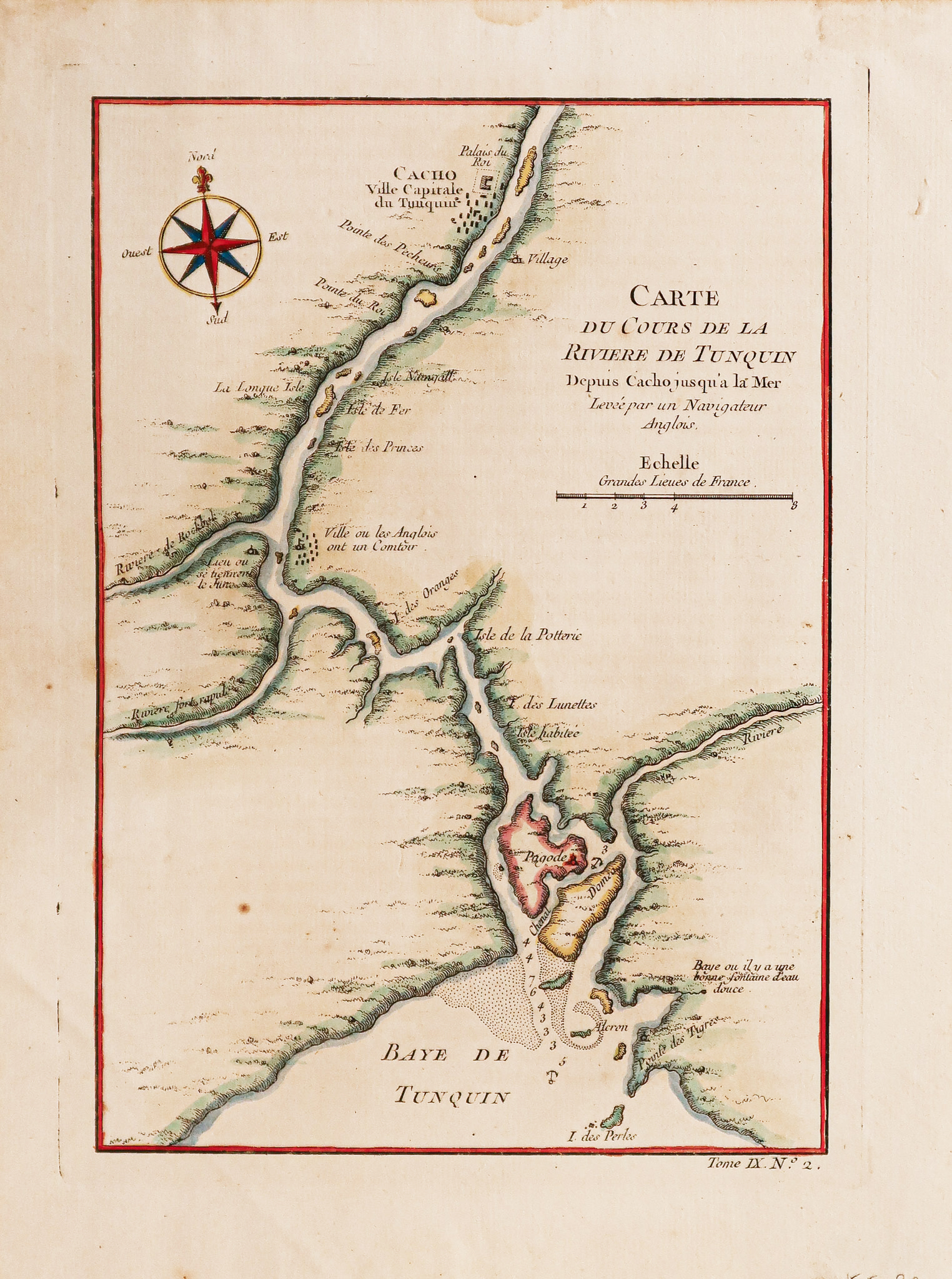
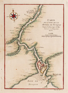
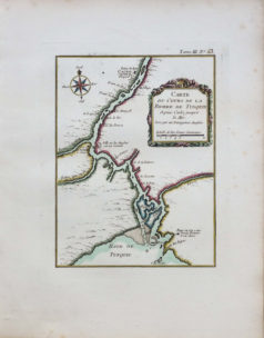
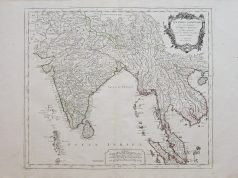
Antique map – Cours de la Rivière de Tunquin
150 €
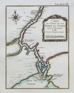
Epreuve originale gravée en 1750. Jacques-Nicolas Bellin cartographe.
Beaux coloris aquarelle.
Très bon état.
Format gravure : 24 x 17 cm.
Format feuille : 25,5 x 19 cm.
Original antique map of 1750
1 en stock
DEMANDE D'INFORMATION
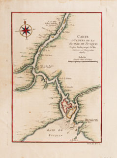
Il s’agit d’une carte de 1750 Jacques Nicholas Bellin coloriée à la main sur la rivière Tonkin (Tunquin), au Vietnam. La carte représente le cours de la rivière de Cacho (Hanoi moderne) à la baie du Tonkin. La carte est orientée légèrement vers le nord-est, comme représenté par une boussole dans le coin supérieur gauche.
Jacques-Nicolas Bellin, né Paris en 1703, mort à Versailles le 21 mars 1772, est un cartographe hydrographe français. En 1721, Bellin est nommé hydrographe du ministère de la Marine suite à la création de l’office hydrographique français et du Dépôt des cartes et plans de la Marine. Membre de l’Académie de Marine et la Royal Society of London. Au cours d’une carrière de 50 ans, il est l’auteur d’un grand nombre de cartes et d’atlas.
This is a hand colored 1750 Jacques Nich s’a olas Bellin map of the Tonkin (Tunquin) River, Vietnam. The map depicts the river’s course from Cacho (modern Hanoi) to the Bay of Tonkin. The map is oriented slightly to the northeast, as depicted by a compass in the upper left corner. At Cacho, the lap makes special note of the Royal Palace and depicts a collection of buildings around it. Along the course of the river, the map notes several waypoints, most of which are islands, but the map depicts a city ‘where the English have a bar.’ A pagoda is also depicted on an island near the bay. As the river nears the bay, depth soundings are given, as well as two locations that would serve as a suitable anchorage, which are denoted by anchors.
Produits similaires
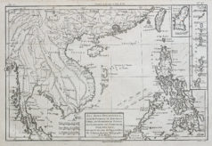
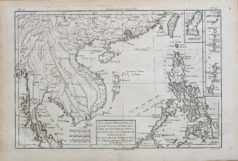
Les îles Philippines, celles de Formose, le sud de la Chine, les Royaumes de Tunkin, de Cochinchine, et Cambodge, de Siam, de Laos. Epreuve originale réalisée en 1780. Bonne cartographe. Fine oxydation homogène. Bon état. Format feuille : 38,5 x 26 cm. Format gravure : 35 x 23 cm. Original antique map of 1780. Belle impression des Philippines réalisée par Mr Bonne, ingénieur et hydrographe de la marine. Echelle des lieux.
Afghanistan
Epreuve originale réalisée en 1760. Bellin géographe. Coloris aquarelle. Rousseurs claires dans les marges. Très bon état. Format feuille : 49 x 33,5 cm. Format gravure : 25,5 x 21 cm. Original antique map of 1760
Vietnam & Cambodge
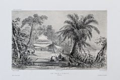
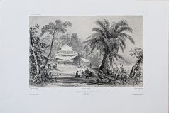
Une pagode à Tourane. Lithographie originale réalisée en 1836. Fisquet dessinateur et David lithographe. Arthus Bertrand éditeur. Très bon état. Format feuille : 51,5 x 34 cm. Original antique lithography of 1836
Vietnam & Cambodge
Epreuve originale réalisée en 1905. Bergelin cartographe. Très bon état. Format feuille: 76 x 55,5 cm. Original antique map of 1905
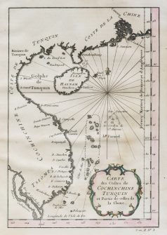
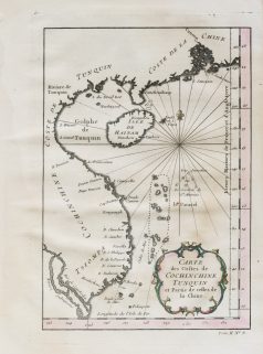
Côtes de Tunquin et partie de celles de la Chine. Epreuve originale réalisée vers 1750. Bellin cartographe. Coloris aquarelle. Fine oxydation dans l’épreuve. Etat correct. Format feuille : 25 x 18,5 cm. Format gravure : 22,5 x 15,5 cm. Original antique map around 1750
Vietnam & Cambodge
Epreuve originale réalisée vers 1760. Bellin cartographe. Coloris aquarelle. Fines rousseurs claires éparses. Bon état. Format feuille : 34 x 25,5 cm. Format gravure : 23,5 x 18,5 cm. Original antique map around 1760. Cartouche décoratif, échelle des lieux et boussole.
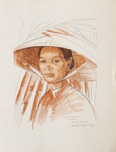
Chadourne - Boullard-Deve Marie Antoinette. Vision de l'Indochine, études, pastels et gouaches de Mme A. Boullard-Devé. Chez Plon, Paris, 1926. 1 recueil sous porte-folio à rabat de l’époque (59 x 48 cm), trace de frottement, manque un lacet de fermeture. Liste des 20 œuvres choisies. 1 page de titre avec fine usure dans le haut du feuillet, 16 pages de texte et 20 lithographies en sépia et couleurs numérotées de 1 à 20 /220 et signées par l’artiste. Fine trace de pli en marge des feuillets. Bon état des lithographies sans rousseurs. Tirage à 300 exemplaires. Envoi sur la page de titre de Madame Boullard à un ami. Superbes portraits indochinois: Congaïe porteuse de fruits; Guerrier moï (région de Darlac); Femme et enfants; Guerrier moï (région de Tramy); Congaïe pêcheuse; Annamite au chapeau, Femme moï au repos; Femme et nho; La fille du bêp; Tragédienne du Palais de Thuduc; Enfant coiffé du bonnet votif; Eunuques du Palais de Thuduc; Petit gardien de buffles; Concubine de l'Empereur Thuduc; Congaïe au cai-ao violet
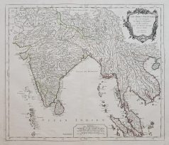
Epreuve originale réalisée en 1779. Robert de Vaugondy & Santini géographes. Limites colorées de l’époque. Très bon état. Format feuille : 75 x 56 cm. Format gravure : 57 x 49 cm. Original antique map of 1779. Les Indes Orientales où sont distingués les Empires et Royaumes qu’elles contiennent, tirées du Neptune Oriental. Excellente carte du géographe Robert de Vaugondy éditée chez Santini. Echelle des mesures, cartouche de titre décoratif.

