Carte géographique ancienne – Tyrol
95 €
Carte entoilée originale de 1830. Weiland cartographe.
Coloris anciens.
Très bon état.
Format Feuille : 43 x 37 cm.
Original antique map of 1830
1 en stock
DEMANDE D'INFORMATION
Produits similaires
Suisse & Liechtenstein
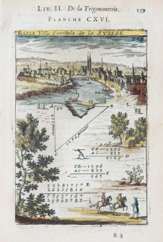
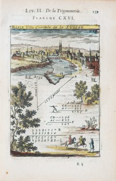
Epreuve originale réalisée en 1705. Mallet éditeur et mathématicien. Beaux coloris aquarelle. Texte explicatif au verso en français du calcul géométrique. Très bon état. Format feuille : 20,5 x 13,5 cm. Format cuivre : 15 x 10 cm. Original antique engraving of 1705
Suisse & Liechtenstein
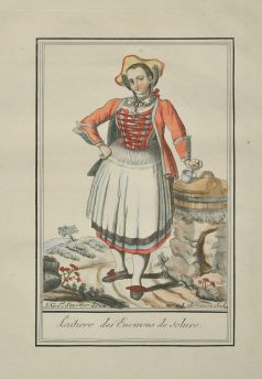
Epreuve originale réalisée en 1796. Beaux coloris anciens. Format cuivre : 15 x 21 cm. Format feuille : 19 x 24,5 cm. Original antique engraving of 1796
Suisse & Liechtenstein
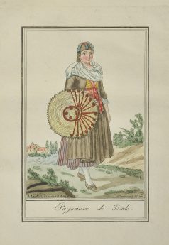
Epreuve originale réalisée en 1796. Beaux coloris anciens. Format cuivre : 15 x 21 cm. Format feuille : 19 x 24,5 cm. Original antique engraving of 1796
Suisse & Liechtenstein
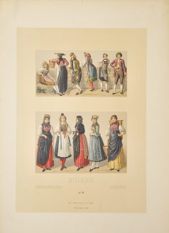
Chromolithographie originale de 1866. Excellent état. Format Feuille : 48 x 35 cm. Original antique lithography of 1866
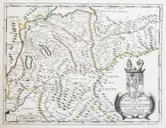
Epreuve originale gravée vers 1660. Pierre Duval cartographe. Limites colorées de l’époque. Infime rousseur dans la marge latérale gauche loin de la carte. Très bon état. Format feuille : 54,5 x 43 cm. Format gravure : 48 x 36,5 cm. Original antique map around 1660. Carte peu courante en édition française du début du 17ème siècle. Elégante mise en page, large cartouche de titre des blasons régionaux, échelle des mesures.
Suisse & Liechtenstein
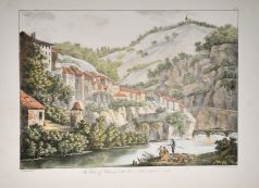
Gravure ancienne – The town of the Fribourg on the river Saline
Lithographie originale de Marianne Colston réalisée en 1820. Coloris aquarelle. Très bon état. Format Feuille : 50 x 34 cm. Original antique lithography of 1820
Suisse & Liechtenstein
Gravure originale sur cuivre de 1796. Beaux coloris anciens. Format cuivre : 15 x 21 cm. Format feuille : 19 x 24,5 cm. Original antique engraving of 1796
Suisse & Liechtenstein
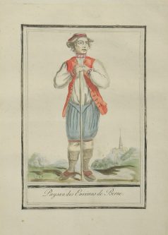
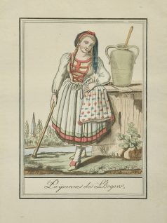
Gravure ancienne – Paysanne de l’Argow – Original antique engraving
Gravure originale sur cuivre de 1796. Beaux coloris anciens. Format cuivre : 15 x 21 cm. Format feuille : 19 x 24,5 cm. Original antique engraving of 1796

