

 CARTES & VUES – MAPS & VIEWS
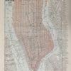
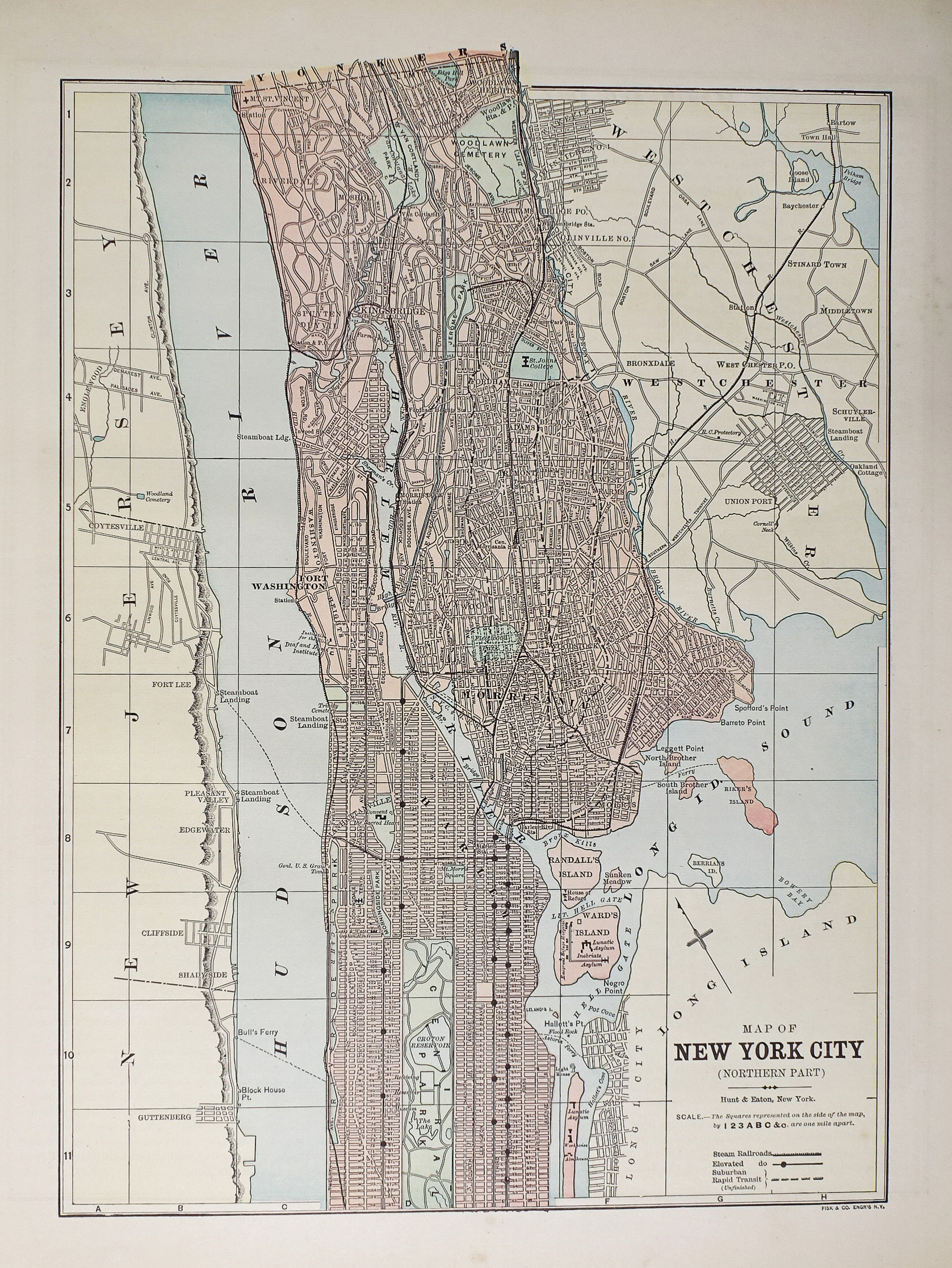
Plan ancien des Etats-Unis – New-York City – Original antique map
Plan original de 1893.
Très bon état.
Texte explicatif au verso.
Format feuille : 36 x 29,5 cm.
Original antique map of 1893
Sold
DEMANDE D'INFORMATION
Produits similaires
Etats - Unis
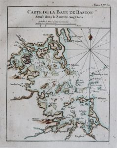
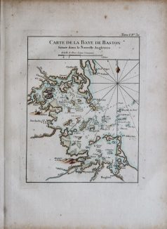
Epreuve originale réalisée en 1764. Bellin cartographe. Coloris aquarelle. Fines rousseurs éparses. Bon état. Format feuille : 33,5 x 24,5 cm. Format gravure : 23 x 18 cm. Original antique map of 1764. Carte particulièrement précise avec relevés des fonds marins, cartouche de titre aquarellé. Repère indiquant le nord.
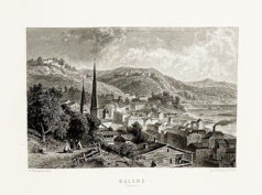
Epreuve originale de 1875. W. Forest graveur, F. Church peintre. Beau panorama en première impression sur papier japon. Format feuille : 74,5 x 51 cm. Format gravure : 63,5 x 49 cm. Original antique engraving of 1875
Etats - Unis
Epreuve originale de 1865. Très bon état. Format feuille : 36,5 x 28 cm. Format gravure : 29 x 23 cm. Original antique engraving of 1865
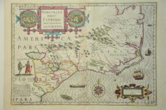
Carte originale de Hondius gravée en 1638. Double in -folio. Beaux coloris anciens. Infimes rousseurs dans le pli central. Format feuille : 54 x 44,5 cm. Format gravure : 50,5 x 36 cm. Texte explicatif en latin au verso. Original antique map of 1638
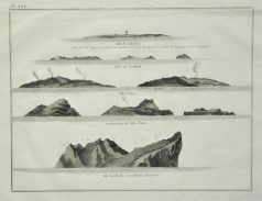
Epreuve originale de 1770. Très bon état. Format feuille : 33,5 x 24 cm. Format gravure : 27 x 20 cm. Original antique engraving of 1770

Etats - Unis
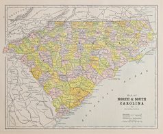
Plan original de 1893. Très bon état. Texte explicatif du Kentucky et Tennessee au verso. Format feuille : 36 x 29,5 cm. Original antique map of 1893
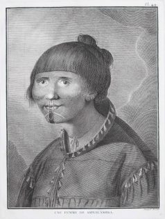
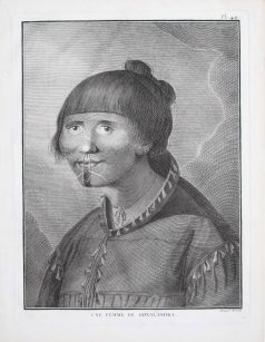
Femme de Oonalashka. Epreuve originale gravée vers 1770. Bernard dessinateur. Très bon état. Format feuille : 27 x 20 cm. Format gravure : 24 x 18 cm. Original antique engraving around 1770. Témoignage gravé du troisième voyage de Cook de 1768 à 1771.
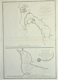
Epreuve originale de 1797. Très bon état. Format feuille : 53,5 x 40,5 cm. Format gravure : 50 x 34,5 cm. Original antique map of 1797