
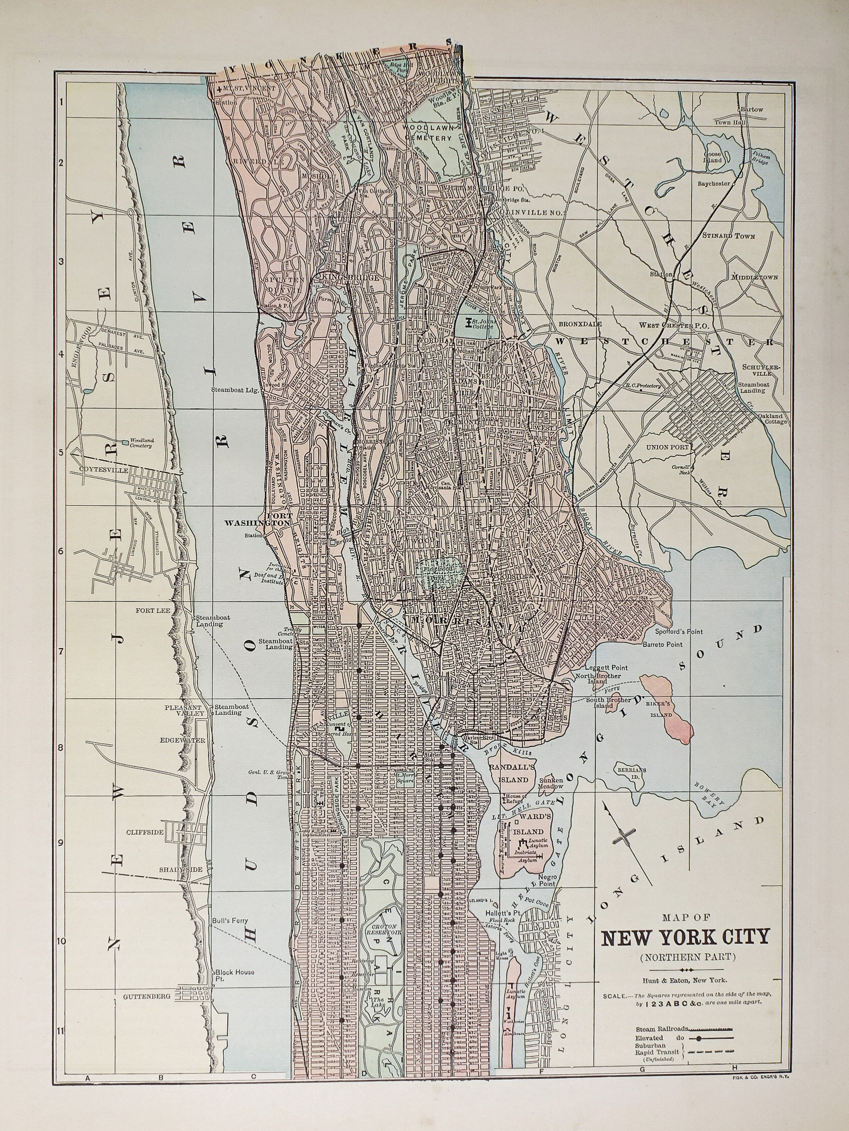
Plan ancien des Etats-Unis – New-York City – Original antique map
Plan original de 1893.
Très bon état.
Texte explicatif au verso.
Format feuille : 36 x 29,5 cm.
Original antique map of 1893
Sold
DEMANDE D'INFORMATION
Produits similaires
Etats - Unis
Plan original de 1893. Très bon état. Texte explicatif du Labrador au verso. Format feuille : 36 x 29,5 cm. Original antique map of 1893
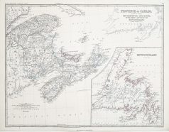
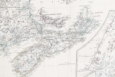
Carte originale gravée en 1870. Johnston cartographe. Belle impression en couleurs. très bon état. Format feuille : 61,5 x 48 cm. Original antique map of 1870
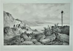
Lithographie originale de 1836. Dessinée par Lauvergne, chez Arthus Bertrand éditeur. Très bon état. Format feuille : 49 x 32 cm. Original antique engraving of 1836
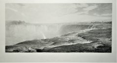
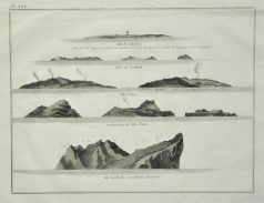
Epreuve originale de 1875. W. Forest graveur, F. Church peintre. Beau panorama en première impression sur papier japon. Format feuille : 74,5 x 51 cm. Format gravure : 63,5 x 49 cm. Original antique engraving of 1875
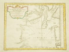
Epreuve originale de 1770. Très bon état. Format feuille : 33,5 x 24 cm. Format gravure : 27 x 20 cm. Original antique engraving of 1770
Etats - Unis
Carte originale gravée en 1750. Bellin cartographe. Très bon état. Beaux coloris aquarelle. Format gravure : 29,5 x 22 cm. Format feuille : 37 x 25 cm. Original antique map of 1750
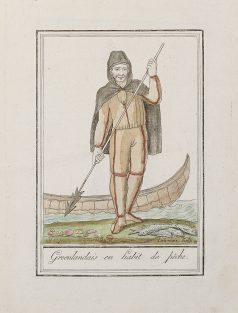
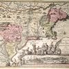
Gravure originale sur cuivre de 1796. Beaux coloris anciens. Format cuivre : 15 x 21 cm. Format feuille : 19 x 24,5 cm. Original antique engraving of 1796
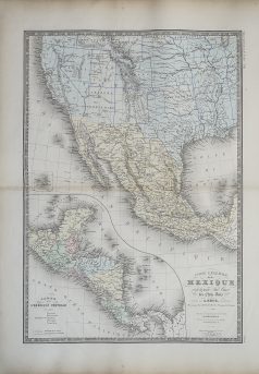
Amérique Centrale
Carte ancienne du Mexique et partie Sud ouest des Etats-Unis
Epreuve originale réalisée en 1875. Editée chez Delagrave. Très bon état. Format feuille : 62 x 47,5 cm. Original antique map of 1875