

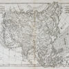
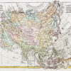
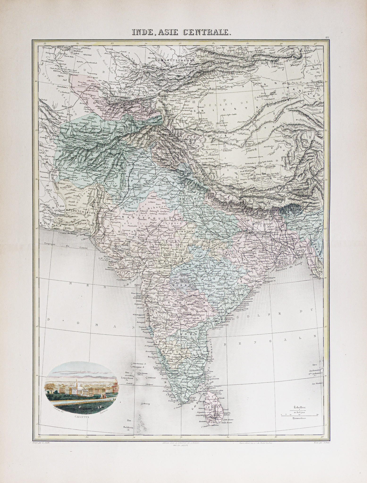
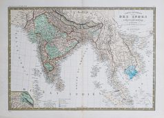
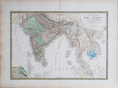
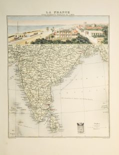
Carte géographique ancienne – Inde – Asie Centrale
135 €
Carte gravée en 1895. L.Smith graveur.
Coloris aquarelle.
Très bon état.
Format : 52,5 x 39,5 cm.
Original antique map of 1895.
Edition de la fin du 19ème siècle, impression en couleurs. 1 cartouche aquarellé illustrant la ville de Calcutta.
1 en stock
DEMANDE D'INFORMATION
Produits similaires
Inde & Pakistan
Carte gravée en 1750. Jacques-Nicolas Bellin cartographe. Coloris aquarelle. Cartouche décoratif. Excellent état. Format feuille : 38,5 x 28 cm. Format gravure : 32 x 23 cm. Original antique map of 1710
Epreuve originale réalisée en 1875. A. Brué dessinateur et géographe & E. Levasseur. Rousseurs fines dans bas du pli central. Bon état. Format feuille : 61,5 x 47,5 cm. Original antique map of 1875. Carte particulièrement détaillées avec renvois colorés indiquant les possessions occidentales, états indépendants, cartouche complémentaire du Pendjab et du Cachemire.
Afghanistan
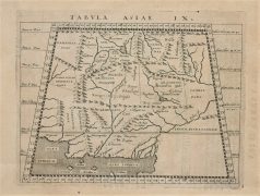
Epreuve originale réalisée en 1590. Magini cartographe. Très bon état. Format gravure : 16,5 x 13,5 cm. Format feuille : 21 x 17,5 cm. Original antique map of 1590
Inde & Pakistan
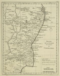
Théâtre de la Guerre sur la côte de Coromandel. Epreuve originale réalisée vers 1760. Nicolas Bellin cartographe. Très bon état. Format cuivre : 32 x 24,5 cm. Original antique map of 1760
Inde & Pakistan
Epreuve originale réalisée en 1890 par Lecocq. Beau cartouche aquarellé. Très bon état. Format feuille : 42 x 28 cm. Original antique map of 1890
Inde & Pakistan
Carte originale gravée sur cuivre vers 1750. Bellin cartographe. Infime petit trou restauré dans le centre de la bordure supérieure. Bon état. Format feuille : 34,5 x 25 cm. Format gravure : 28,5 x 20,5 cm. Original antique map of 1750
Inde & Pakistan
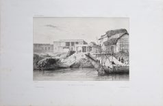
Vue prise sur les bords de l’Hougly. Lithographie originale de 1836. Lauvergne dessinateur et Bichebois lithographe. Quelques rousseurs dans les marges, loin de l’épreuve. Petite restauration sur 3 cm dans l’angle supérieur droit de la marge, loin de la gravure. Bon état. Format feuille : 49,5 x 32 cm. Format sujet : 32 x 24 cm. Original antique lithography of 1836
Inde & Pakistan
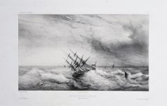
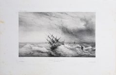
Coup de vent dans l’Hougly. Lithographie originale de 1836. Lauvergne dessinateur et lithographe. Rousseurs claires éparses dans les grandes marges. Bon état. Format feuille : 49,5 x 32,5 cm. Format sujet : 32 x 24 cm. Original antique lithography of 1836