
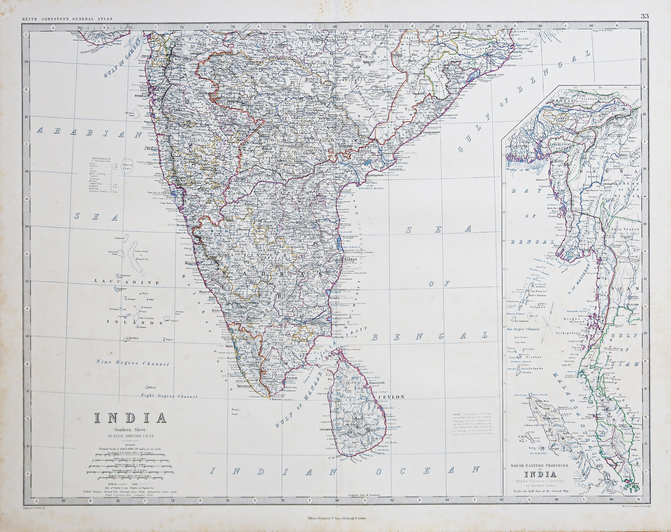
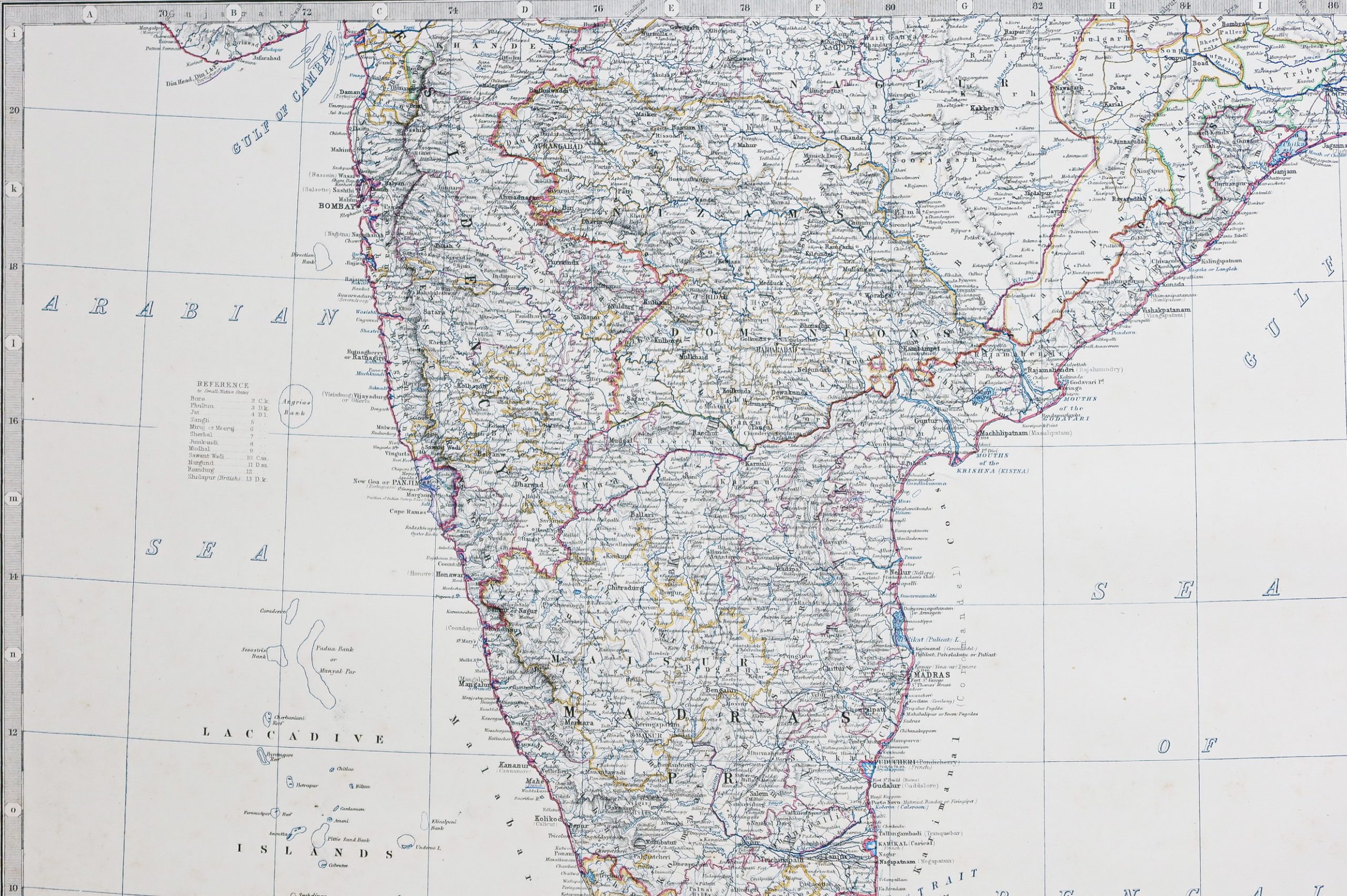
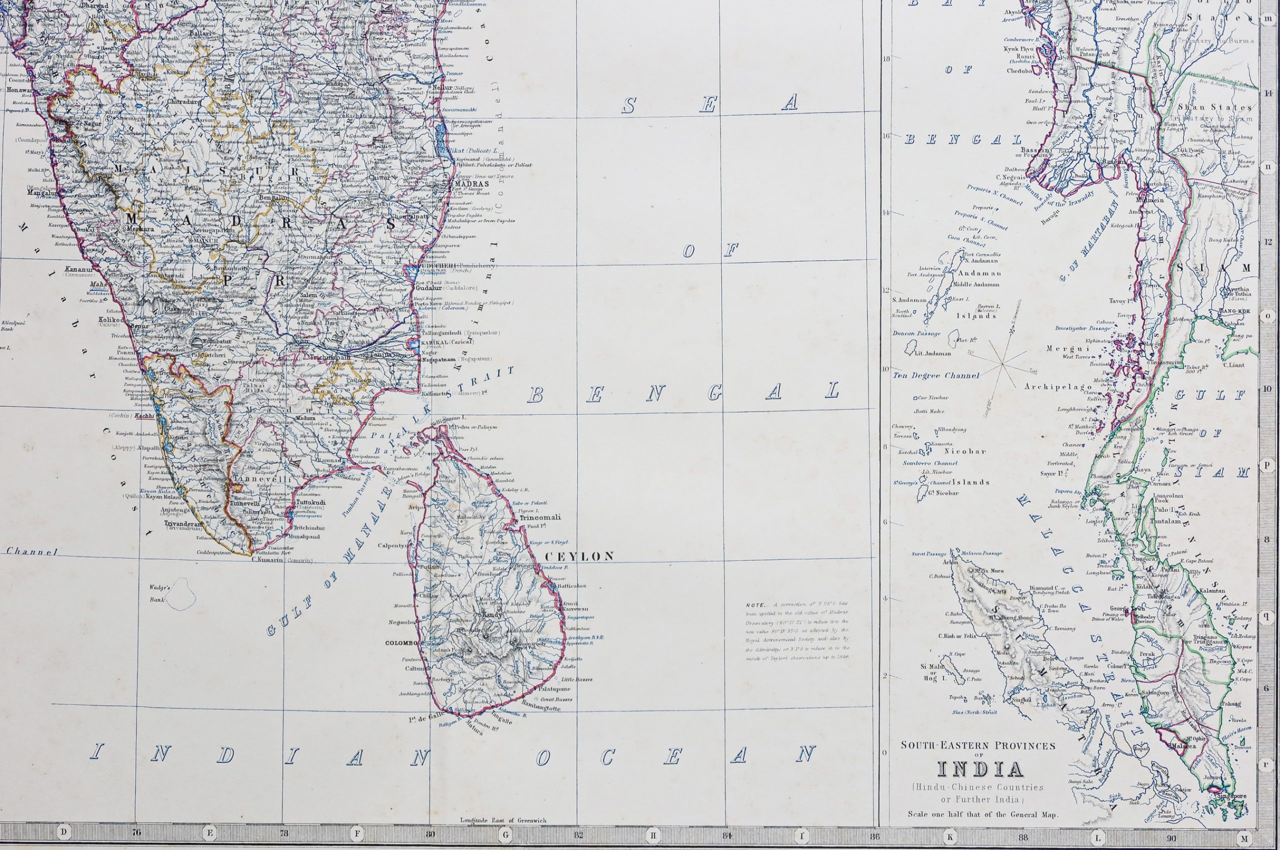
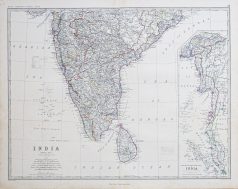
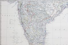
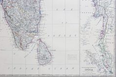
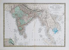
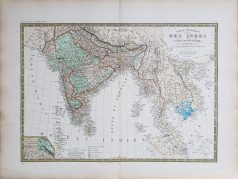
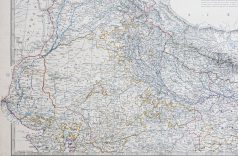
Original antique map of India
145,00€
Carte originale gravée en 1863. Johnston cartographe.
Belle impression en couleurs.
Infimes rousseurs claires du temps.
Très bon état.
Format feuille : 60 x 49,5 cm.
Original antique map of 1863
1 en stock
DEMANDE D'INFORMATION
Produits similaires
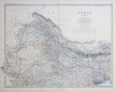
Inde & Pakistan
Carte gravée en 1750. Jacques-Nicolas Bellin cartographe. Coloris aquarelle. Cartouche décoratif. Excellent état. Format feuille : 38,5 x 28 cm. Format gravure : 32 x 23 cm. Original antique map of 1710
Inde & Pakistan
Carte originale gravée sur cuivre vers 1746. Bellin cartographe. Très bon état. Coloris aquarelle. Format feuille : 34,5 x 25 cm. Format gravure : 28,5 x 20,5 cm. Original antique map of 1746
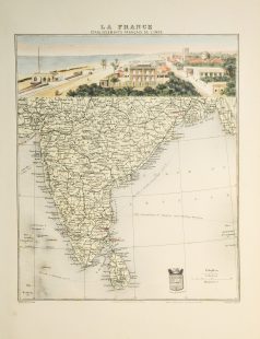
Epreuve originale réalisée en 1875. A. Brué dessinateur et géographe & E. Levasseur. Rousseurs fines dans bas du pli central. Bon état. Format feuille : 61,5 x 47,5 cm. Original antique map of 1875. Carte particulièrement détaillées avec renvois colorés indiquant les possessions occidentales, états indépendants, cartouche complémentaire du Pendjab et du Cachemire.
Inde & Pakistan
Carte gravée sur acier en 1905 par Lecocq graveur. Beau cartouche aquarellé. Très bon état. Format feuille : 42 x 28 cm. Original antique map print in 1905.
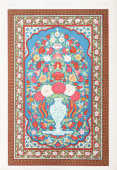
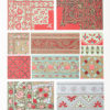
Architecture & Design
Lithographie originale de 1865. Belle impression en couleurs. Très bon état. Format feuille : 33 x 23 cm. Original antique lithography of 1865. Remarquable impression en couleurs réalisée par les ateliers Firmin Didot. Les lithographes pouvaient utiliser jusqu’à 19 pierres lithographiques de couleurs différentes pour une même épreuve.
Inde & Pakistan
Carte originale gravée en 1863. Johnston cartographe. Belle impression en couleurs. Très bon état. Format feuille : 60 x 49,5 cm. Original antique map of 1863
Emirats & Qatar & Arabie Saoudite
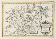
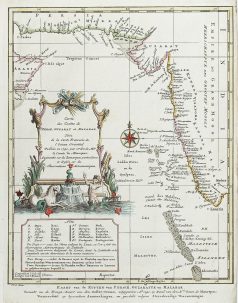
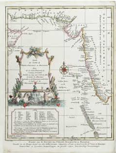
Carte ancienne des Côtes de Perse – Iran – Guzarat – Malabar
Carte originale gravée en 1740. Très bon état. Coloris aquarelle. Format feuille : 27 x 21,5 cm. Format gravure : 26,5 x 20,5 cm. Original antique map of 1740. Carte illustrée d’un large cartouche décoratif et d’une rose des vents. Explication dans le second cartouche des lieux avec observations astronomiques.
Inde & Pakistan
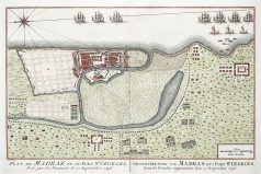
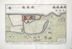
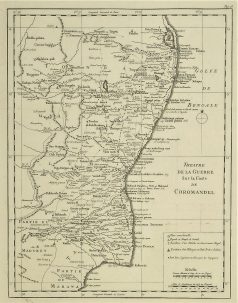
Théâtre de la Guerre sur la côte de Coromandel. Epreuve originale réalisée vers 1760. Nicolas Bellin cartographe. Très bon état. Format cuivre : 32 x 24,5 cm. Original antique map of 1760