

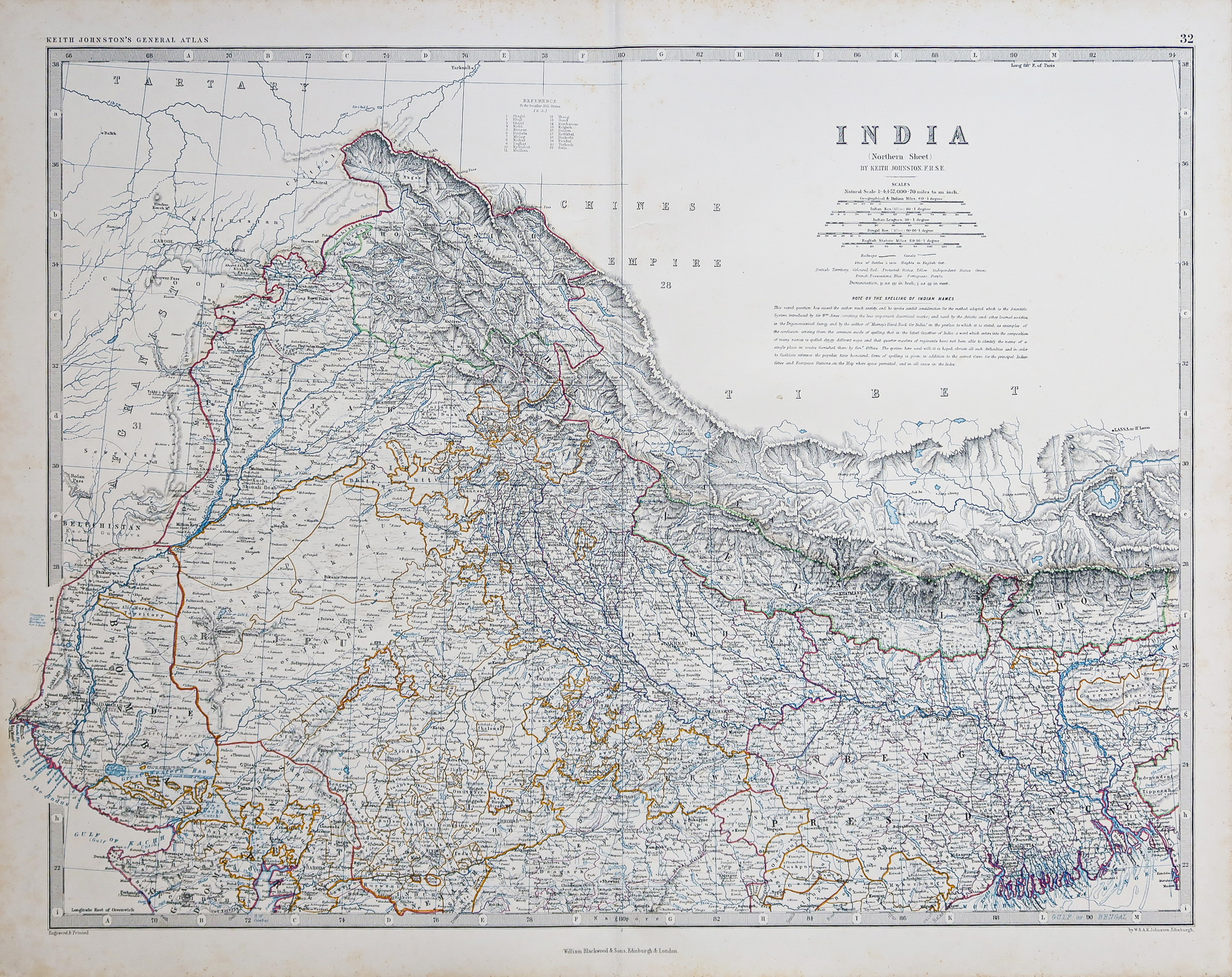
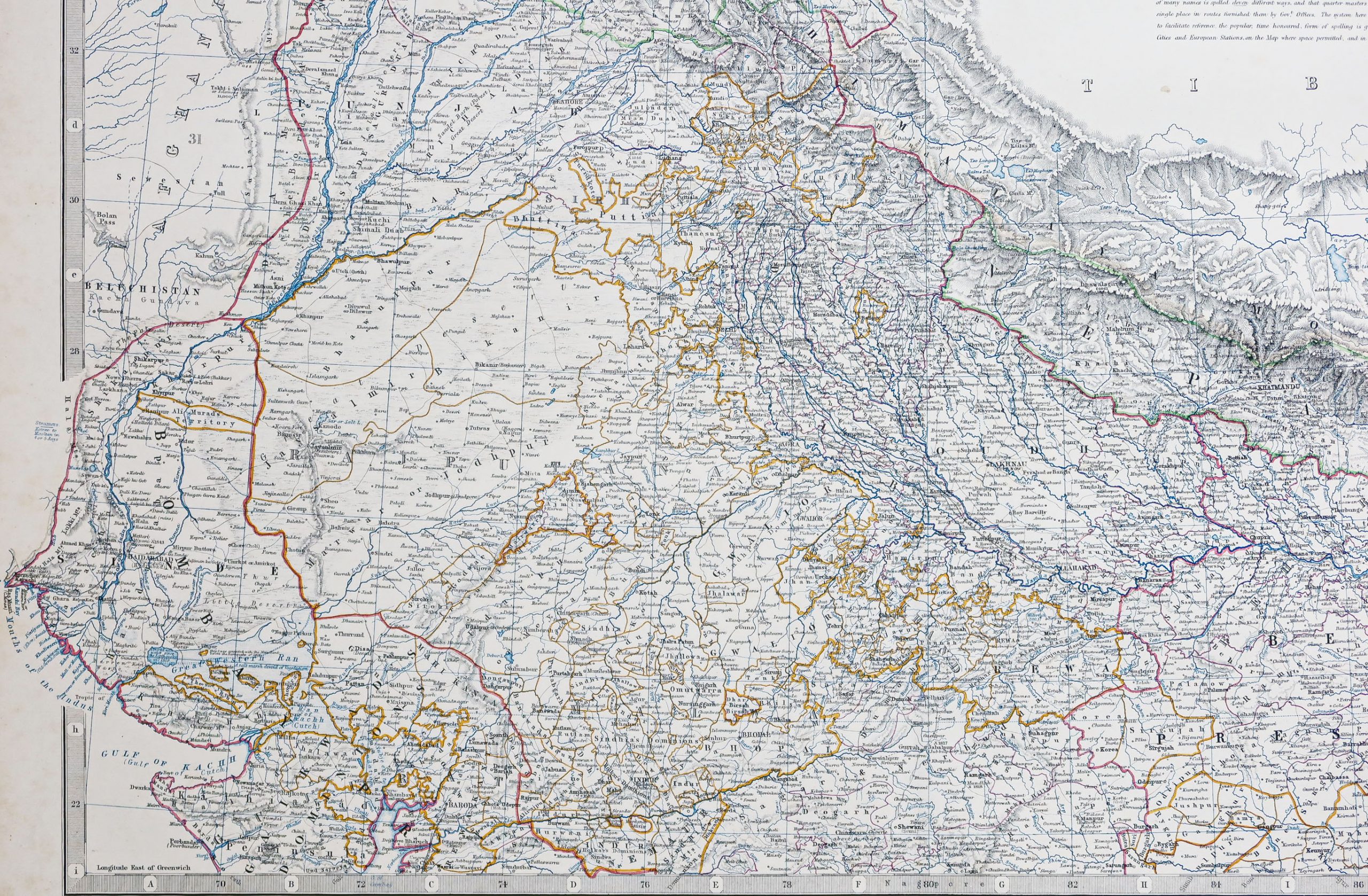
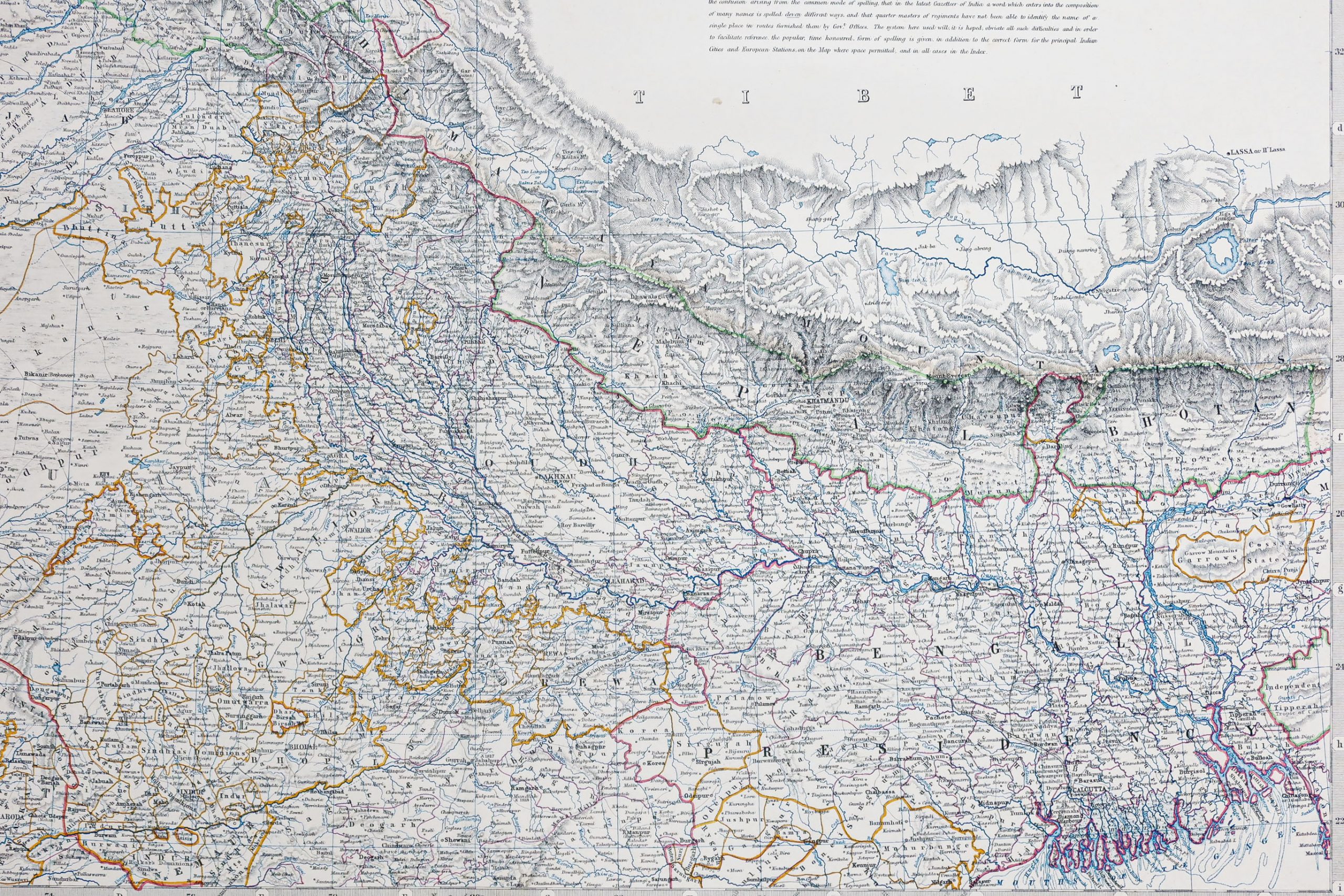
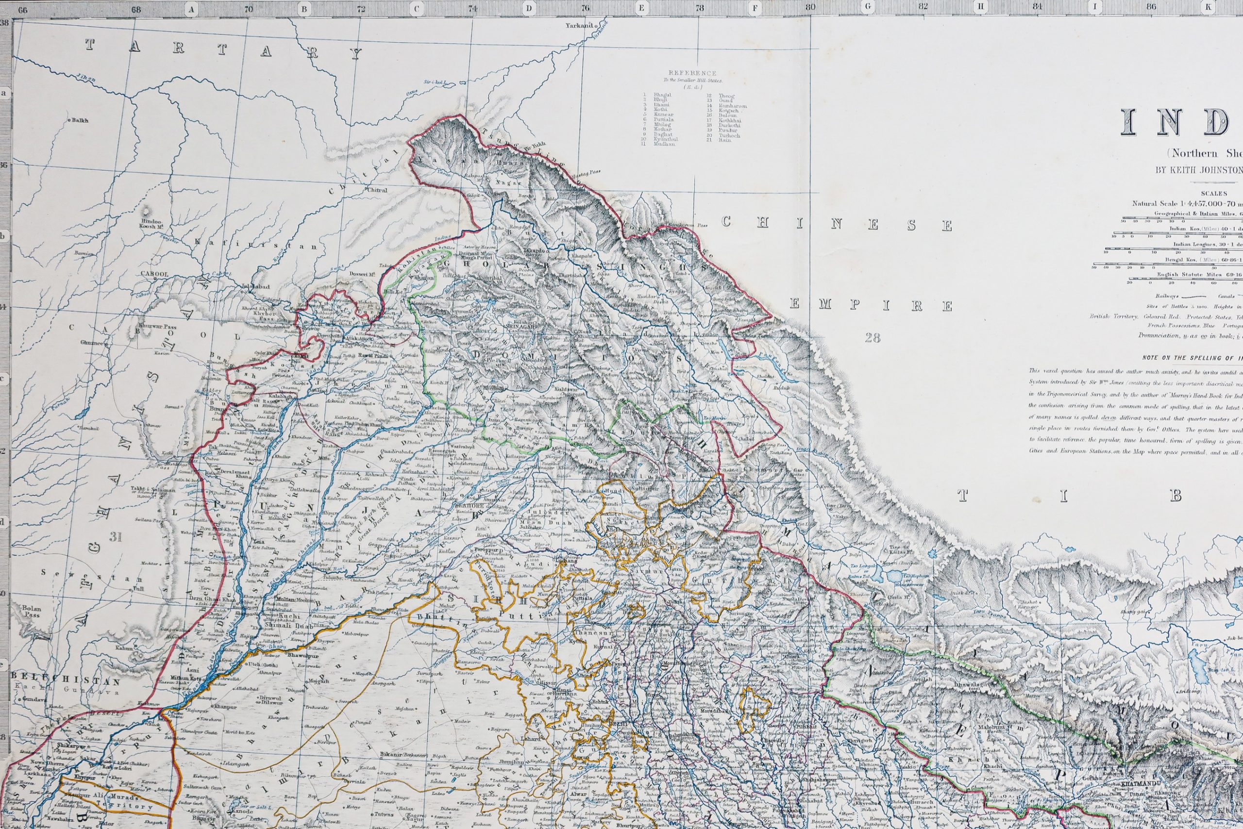
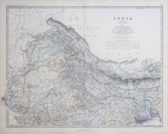
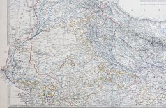
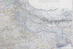
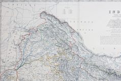
Original antique map of India
125,00€
Carte originale gravée en 1863. Johnston cartographe.
Belle impression en couleurs.
Très bon état.
Format feuille : 60 x 49,5 cm.
Original antique map of 1863
Rupture de stock
DEMANDE D'INFORMATION
Produits similaires
Inde & Pakistan
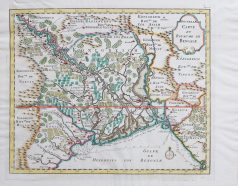
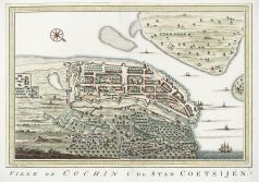
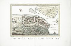
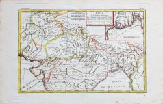
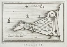
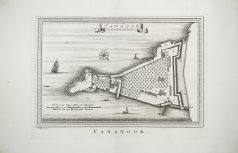
Carte originale gravée sur cuivre vers 1746. Bellin cartographe. Très bon état. Coloris aquarelle. Format feuille : 34,5 x 25 cm. Format gravure : 28,5 x 20,5 cm. Original antique map of 1746
Inde & Pakistan
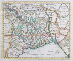
Carte originale gravée en 1750. Bellin cartographe. Beaux coloris aquarelle. Très bon état. Coloris aquarelle. Format feuille : 39,5 x 32 cm. Format gravure : 34 x 28 cm. Original antique map of 1750
Inde & Pakistan
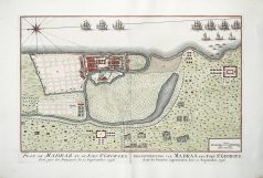
Carte originale gravée sur cuivre vers 1750. Bellin cartographe. Petit trou restauré dans le centre de la bordure inférieure. Bon état. Coloris aquarelle. Format feuille : 34,5 x 25 cm. Format gravure : 28,5 x 20,5 cm. Original antique map of 1750
Inde & Pakistan
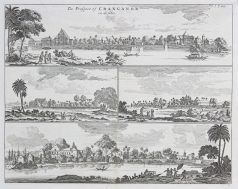
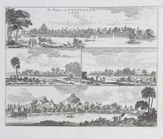
The prospect of Cranganor. Epreuve originale réalisée au 18ème siècle. Anonyme. Très bon état. Format feuille : 38 x 33 cm. Format gravure : 36 x 28,5 cm. Original antique engraving of the 18th century
Inde & Pakistan
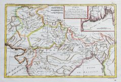
Carte de la partie supérieure de l’Inde en deçà du Gange. Epreuve originale réalisée en 1780. Rigobert Bonne cartographe. Beaux coloris aquarelle. Petites rousseurs éparses. Bon état. Format feuille : 41,5 x 27 cm. Format gravure : 34 x 23,5 cm. Original antique map of 1780
Architecture & Design
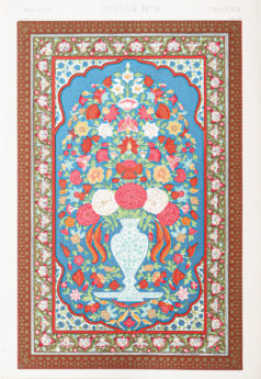
Lithographie originale de 1865. Belle impression en couleurs. Très bon état. Format feuille : 33 x 23 cm. Original antique lithography of 1865. Remarquable impression en couleurs réalisée par les ateliers Firmin Didot. Les lithographes pouvaient utiliser jusqu’à 19 pierres lithographiques de couleurs différentes pour une même épreuve.
Inde & Pakistan
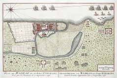
Carte originale gravée sur cuivre vers 1750. Bellin cartographe. Infime petit trou restauré dans le centre de la bordure supérieure. Bon état. Format feuille : 34,5 x 25 cm. Format gravure : 28,5 x 20,5 cm. Original antique map of 1750
Inde & Pakistan
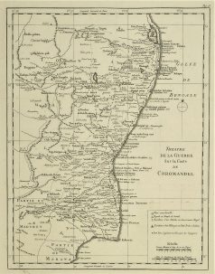
Théâtre de la Guerre sur la côte de Coromandel. Epreuve originale réalisée vers 1760. Nicolas Bellin cartographe. Très bon état. Format cuivre : 32 x 24,5 cm. Original antique map of 1760