

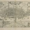
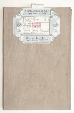
Carte ancienne – Embda – Guicciardini
120 €
Epreuve originale réalisée vers 1610.
Bon état.
Format cuivre : 34 x 25 cm.
Format feuille : 35 x 29,5 cm.
Original antique map of 1610
1 en stock
DEMANDE D'INFORMATION
Produits similaires
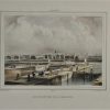
Nord & pas de Calais
Epreuve originale réalisée en 1802 - 1803. Plages et bancs de sable rehaussés à l'aquarelle. Très bon état. Format feuille : 64,5 x 95 cm. Format gravure : 63 x 92,2 cm. Original antique map of 1802 - 1803. Large cartouche expliquant l'établissement des marées. Large boussole décorative.
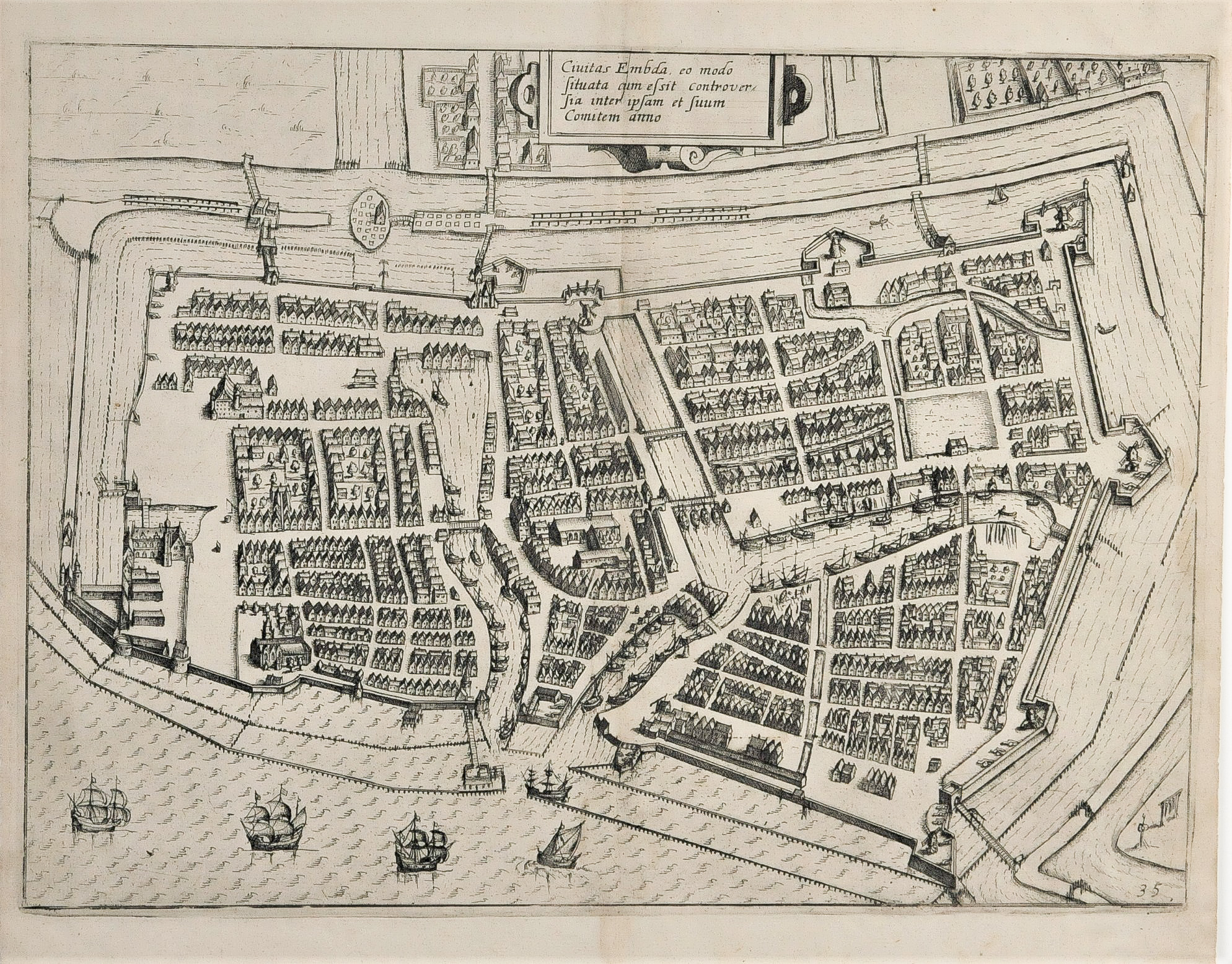
Pays-Bas & Belgique & Luxembourg
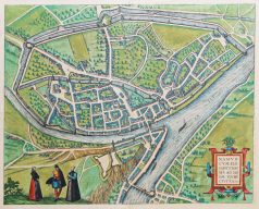
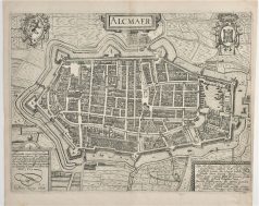
Epreuve originale réalisée en 1590. Braun & Hogenberg cartographes. Beaux coloris anciens Texte en latin au dos. Pli ancien dans la marge latérale gauche. Bon état. Format feuille : 53 x 37,5 cm. Format gravure : 44 x 34,5 cm. L’une des premières représentations de la ville.
Pays-Bas & Belgique & Luxembourg
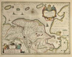
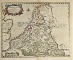
Epreuve originale réalisée en 1638. Johannes Janson cartographe. Beaux coloris anciens. Texte latin au verso. Bon état. Format cuivre : 50 x 38,5 cm. Format feuille : 52,5 x 45 cm. Original antique map of 1638
Pays-Bas & Belgique & Luxembourg
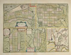
Plan ancien – De Zype – Beemster – De Purmer – De Wormer – Waterland
Epreuve originale réalisée en 1638. Henricus Hondius cartographe. Beaux coloris anciens. Texte latin au verso. Très bon état. Format cuivre : 47,5 x 35,5 cm. Format feuille : 53 x 45 cm. Original antique map of 1638
Pays-Bas & Belgique & Luxembourg
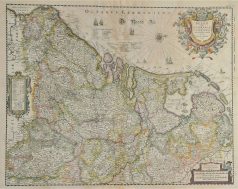
Carte géographique ancienne – Belgii five germaniae inferioris
Epreuve originale réalisée en 1638. Henricus Hondius graveur. Beaux coloris anciens. Texte latin au verso. Rousseurs anciennes dans la partie centrale supérieure. Bon état. Format cuivre : 50,5 x 40 cm. Format feuille : 53 x 43,5 cm. Original antique map of 1638
Pays-Bas & Belgique & Luxembourg
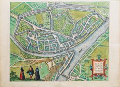
Gravure originale réalisée vers 1610. Bon état. Format cuivre : 33,5 x 26 cm. Format feuille : 34,5 x 29,5 cm. Original antique map of 1610
Pays-Bas & Belgique & Luxembourg
Epreuve originale réalisée en 1638. Johannes Janson cartographe. Beaux coloris anciens. Texte latin au verso. Bon état. Format cuivre : 48,5 x 39 cm. Format feuille : 53 x 45 cm. Original antique map of 1638
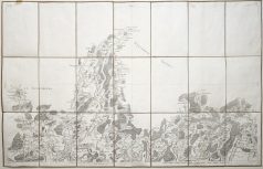
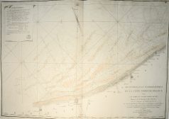
Carte originale de Cassini réalisée en 1763, éditée chez Andriveau - Goujon vers 1815. Entoilée d'époque et montée en 21 sections. Format feuille : 93 x 60 cm. Format repliée : 20 x 13,5 cm. Infime rousseur dans le haut de la carte. Très bon état.