

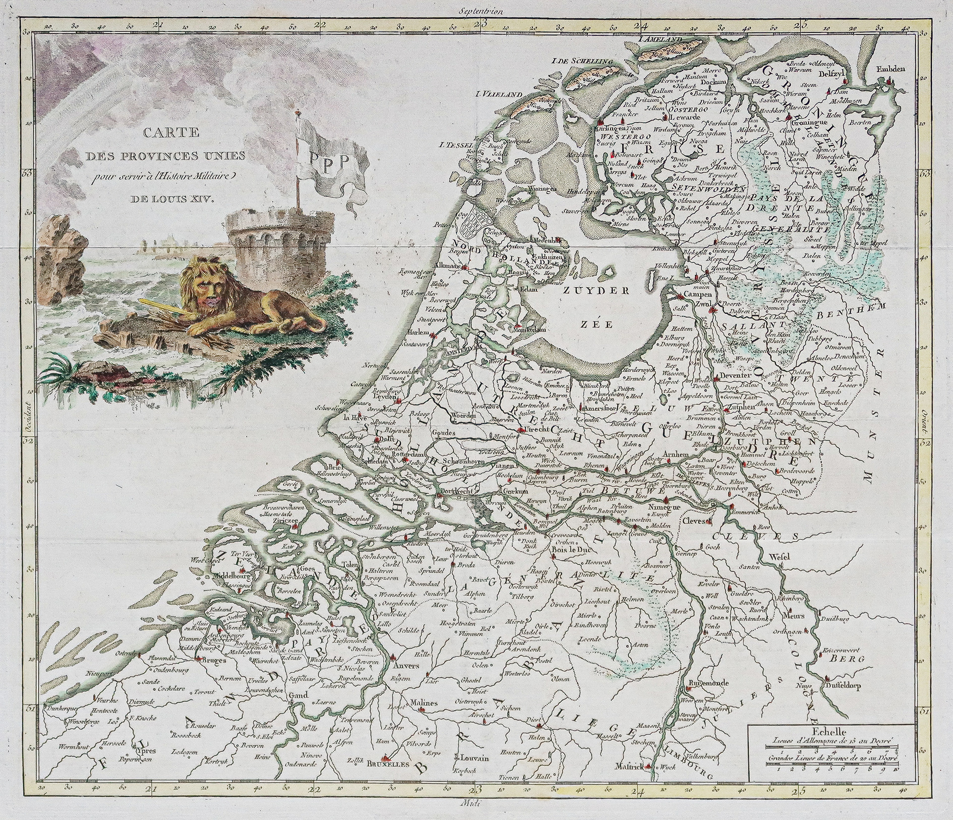
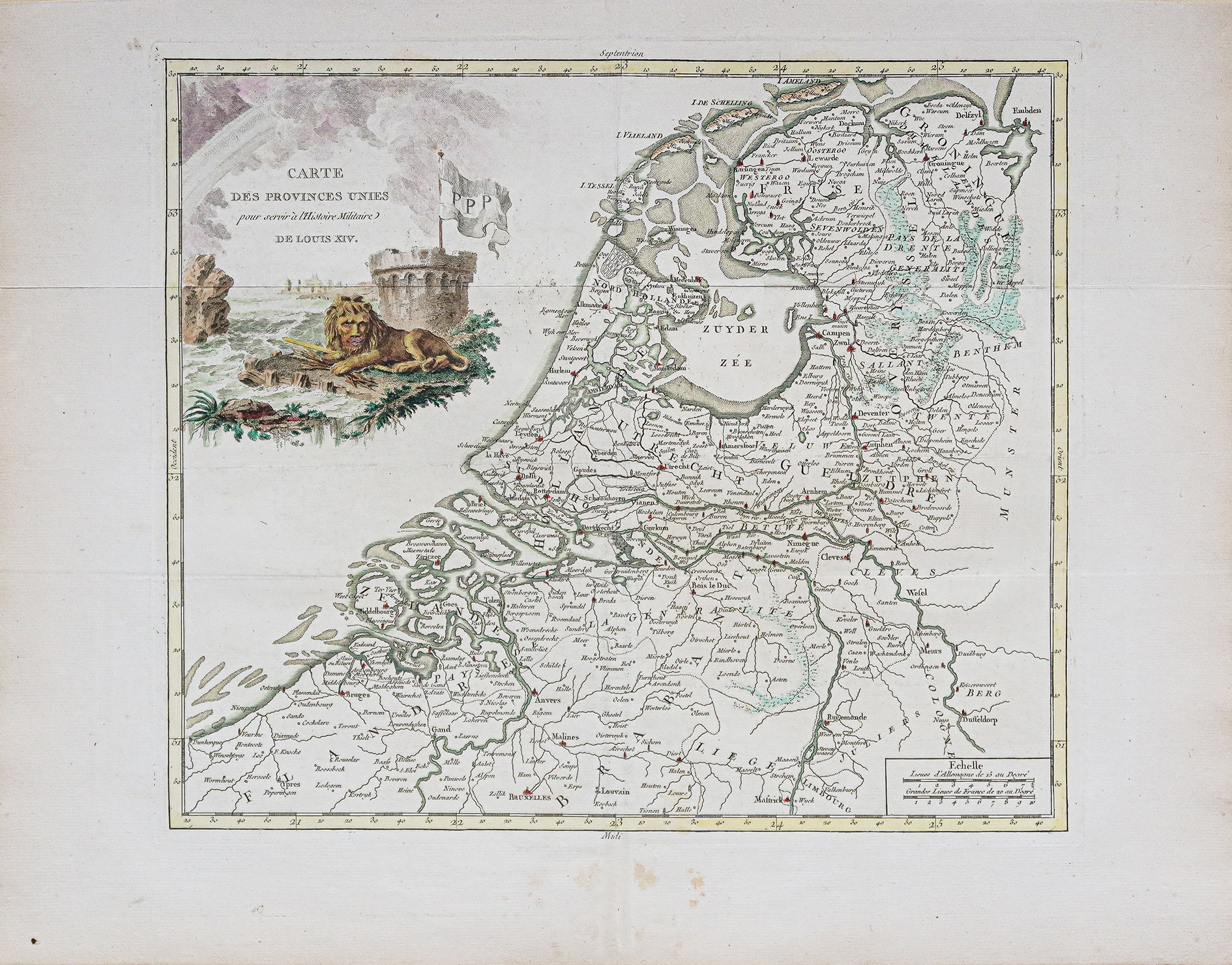
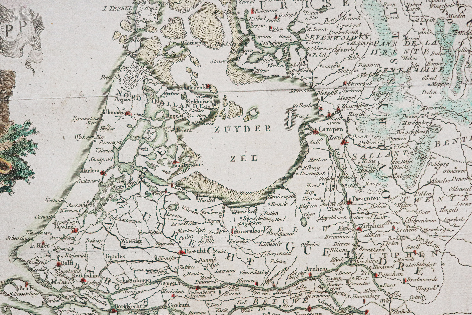
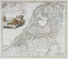
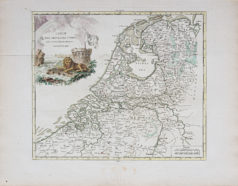
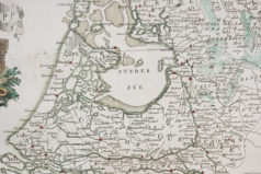
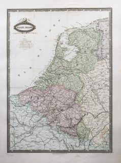
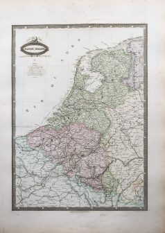
Carte géographique ancienne – Pays-Bas
90 €
Epreuve originale réalisée vers 1750. Anonyme.
Rousseurs éparses dans la marge inférieure et supérieure.
Coloris aquarelle.
Bon état.
Format feuille : 50 x 40 cm.
Format gravure : 37,5 x 32,5 cm..
Original map around 1750.
Carte des provinces unies pour servir à l’Histoire militaire de Louis XIV. Echelle des lieux. Large cartouche de titre illustré.
1 en stock
DEMANDE D'INFORMATION
Produits similaires
Carte originale de Cassini réalisée en 1763, éditée chez Andriveau - Goujon vers 1815. Entoilée d'époque et montée en 21 sections. Format feuille : 93 x 60 cm. Format repliée : 20 x 13,5 cm. Infime rousseur dans le haut de la carte. Très bon état.
Pays-Bas & Belgique & Luxembourg
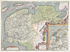
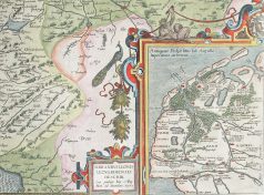
Carte originale réalisée en 1581. Abraham Ortelius cartographe. Belle impression. Coloris aquarelle. Explication de la carte en français au verso. Format feuille : 61,5 x 43,5 cm. Format cuivre : 57,5 x 37 cm. Très bon état. Original antique map of 1581. Très belle épreuve réalisée en 1579 d’après la carte manuscrite de Jon Bloemmaerts ou Johannes Florianus et représentant l'important centre d'expédition d'Emden et des îles Watten. Un large catouche décoratif montre la région inondée par la grande inondation du jour de Noël 1277. Rare édition de 1581 avec un commentaire en vieux français au dos de la carte. Rare édition de 1581 avec un commentaire en vieux français au dos de la carte.
Pays-Bas & Belgique & Luxembourg
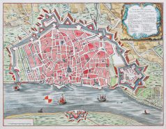
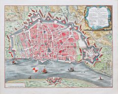
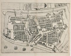
Plan original gravé vers 1720. Anonyme. Beaux coloris aquarelle. Très bon état. Format feuille : 46 x 37 cm. Format gravure : 43 x 34 cm. Original antique map around 1720 Beau plan illustré d’un large cartouche avec explications numérotées de 1 à 7 et de A à O situant les principaux monuments et lieux. Echelle des mesures. Boussole.
Pays-Bas & Belgique & Luxembourg
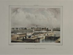
Lithographie originale réalisée vers 1860. A. Collings auteur. Coloris aquarelle. Très bon état. Format feuille : 42,5 x 29 cm. Original antique lithography around 1860
Pays-Bas & Belgique & Luxembourg
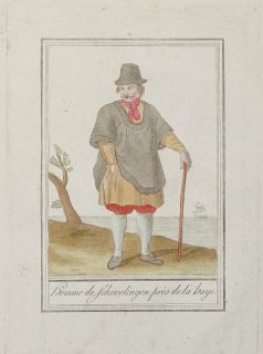
Gravure originale sur cuivre de 1796. Beaux coloris anciens. Format cuivre : 15 x 21 cm. Format feuille : 19 x 24,5 cm. Original antique engraving of 1796
Pays-Bas & Belgique & Luxembourg
Turquie d’Europe. Epreuve originale réalisée en 1860. Garnier F.A cartographe. Très belle impression en couleurs. Infimes rousseurs. Très bon état. Format feuille : 61 x 42,5 cm. Format gravure : 49 x 37 cm. Original antique map of 1860. Echelle des mesures. Nouvelle géographie réalisée par le cartographe L.A Garnier en 1860, membre de la société de Géographie depuis 1850. La parfaite netteté des coloris, le choix du papier et l’exécution typographique furent unanimement salués par la communauté scientifique de l’époque. Peu courant.
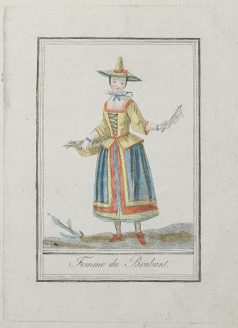
Pays-Bas & Belgique & Luxembourg
Gravure originale sur cuivre de 1796. Beaux coloris anciens. Format cuivre : 15 x 21 cm. Format feuille : 19 x 24,5 cm. Original antique engraving of 1796
Pays-Bas & Belgique & Luxembourg
Epreuve originale réalisée vers 1610. Bon état. Format cuivre : 34 x 25 cm. Format feuille : 35 x 29,5 cm. Original antique map of 1610