

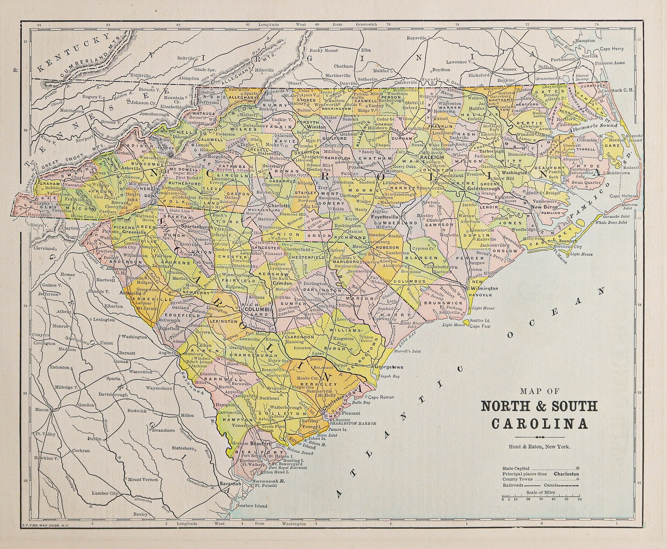
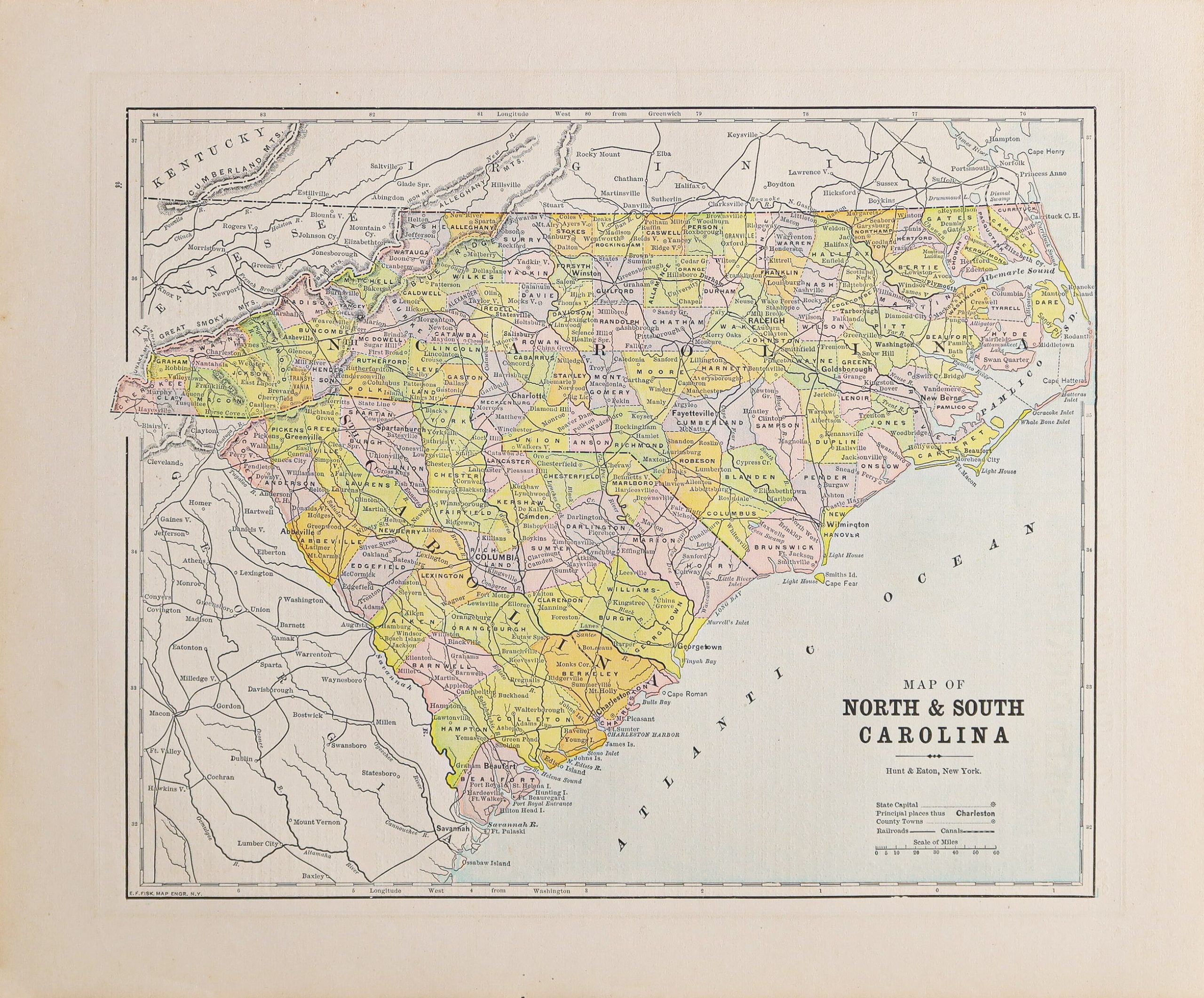
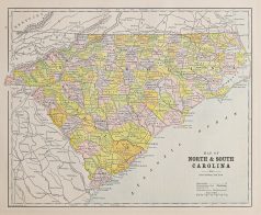

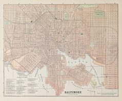
Plan ancien de la Caroline du Nord et Sud
85 €
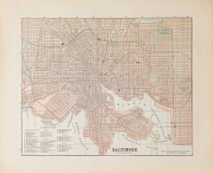
Plan original de 1893.
Très bon état.
Texte explicatif du Kentucky et Tennessee au verso.
Format feuille : 36 x 29,5 cm.
Original antique map of 1893
1 en stock
DEMANDE D'INFORMATION
Produits similaires
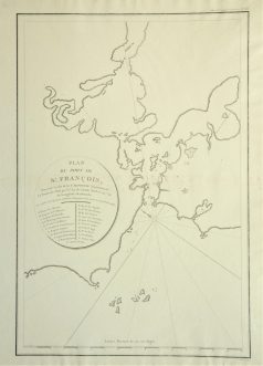
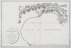
Plan ancien du Port de St François. Epreuve originale réalisée en 1797. Infimes rousseurs dans le pli central. Bon état. Format feuille : 53,5 x 40,5 cm. Format gravure : 48 x 32 cm. Original antique map of 1797. L'une des première représentation de la baie de San Francisco.
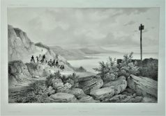
Lithographie originale de 1836. Dessinée par Lauvergne, chez Arthus Bertrand éditeur. Très bon état. Format feuille : 49 x 32 cm. Original antique engraving of 1836
Etats - Unis
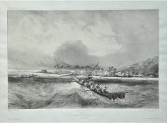
Village de Kearakekoua - Voyage de la Bonite. Lithographie originale de 1836. Dessinée par Fisquet, chez Arthus Bertrand éditeur. Très bon état. Format feuille : 49 x 32 cm. Petite trace de frottement dans la marge inférieure. Original antique engraving of 1836
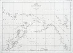
Grande carte originale gravée à Paris en 1797-1798. Très bon état. Format feuille : 74 x 54,5 cm. Original antique map of 1798. La côte ouest de l'Amérique du Nord est représentée au sud comme la Basse Californie et au nord au-dessus de 70 degrés de latitude. Montre une partie de la Chine, tout le Japon et le Kamtschatka, et une représentation attrayante du détroit de Behring et de l'archipel de l'Alaska.
Amérique Centrale
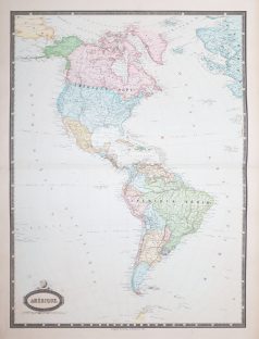
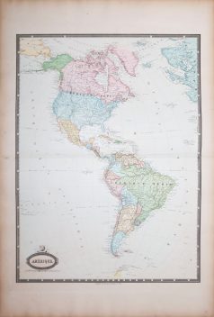
Grande épreuve originale gravée en 1860. Garnier cartographe. Belle impression en couleurs. Infimes rousseurs. Très bon état. Format feuille : 78 x 57 cm. Format gravure : 70 x 52 cm. Original antique map of 1860. Excellente carte du géographe Francis Garnier, éditée par Renouard qui utilisera pour cette édition une très large palette de coloris particulièrement harmonieuse.
Etats - Unis
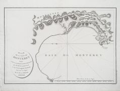
Plan original gravé à Paris en 1797-98. Petite restauration d’un trou de ver dans la partie inférieure de l’épreuve. Très bon état. Format : 53 x 40,5 cm. Original antique plan of 1798

Cartes Marines
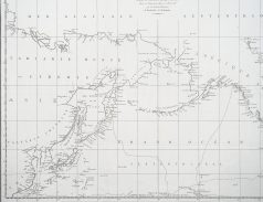
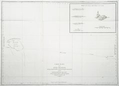
Carte originale gravée à Paris en 1797-1798. Très bon état. Format feuille : 73,5 x 56 cm. Original antique map of 1798. Carte marine montrant Necker Island, une petite île de l'océan Pacifique, qui fait partie des îles hawaïennes du nord-ouest. La Pérouse fut le premier Européen à visiter l'île, en 1786.
Etats - Unis
Plan original de 1893. Très bon état. Texte explicatif de Washington au verso. Format feuille : 36 x 29,5 cm. Original antique map of 1893